Accessibility Toolbar
•
Accessibility Statement
Skip to main content
A-Z
arrow_back
Back
A
B
C
D
E
F
G
H
I
J
K
L
M
N
O
P
Q
R
S
T
U
V
W
X
Y
Z
Search
the Tameside MBC website
search
Search
Chat with us live
Libraries
ANNOUNCEMENTS:
Search the Catalogue
Search the Catalogue
Join the Library
Join the Library
Opening Times & Open+
Opening Times & Open+
What’s on, Groups & Events
What’s on, Groups & Events
eReading
eReading
Business & Reference Information
Business & Reference Information
Children’s Library
Children’s Library
A-Z of Libraries
A-Z of Libraries
Computers & Printing
Computers & Printing
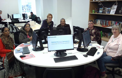
Learn at the Library
Learn at the Library
Tameside_Libraries
@TamesideLibrary
See more from Tameside Culture
 Chat with us live
 Tameside_Libraries
  @TamesideLibrary